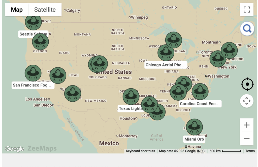
Map Labeled with AI-Based De-Cluttering
ZeeMaps allows map labeled alongside map pins. Labels show either on the pin itself, or below the pin. Pins with […]
ZeeMaps allows map labeled alongside map pins. Labels show either on the pin itself, or below the pin. Pins with […]
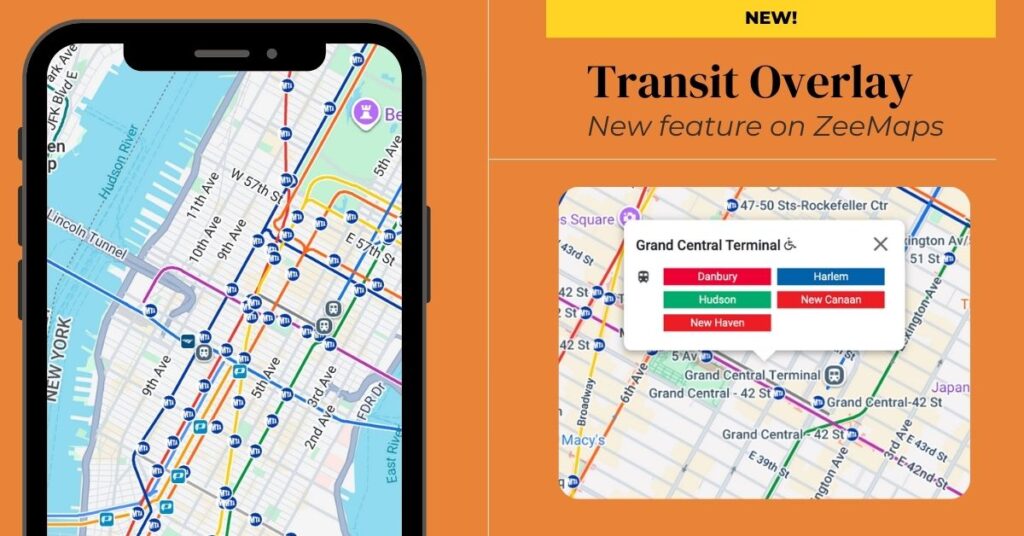
ZeeMaps now allows you to add a Google city public transit network overlay to your maps. This means you can
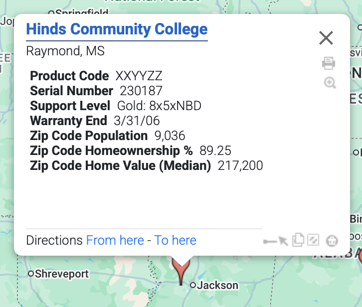
Have you ever wanted to see US Census demographic data directly on your map? With ZeeMaps, you can now add official US
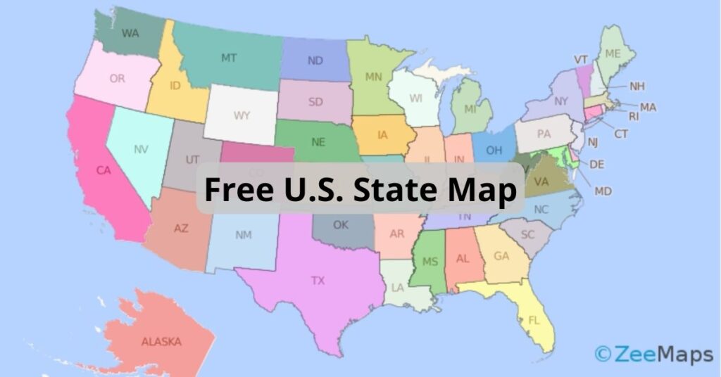
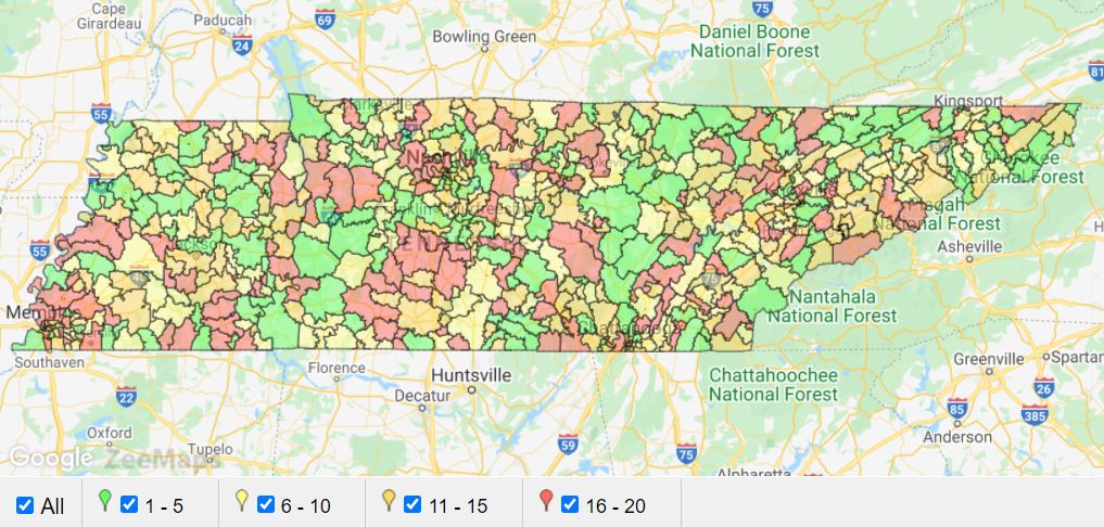
ZeeMaps has more than doubled the colors available to users with an Enterprise Plan. Download this free U.S. state map to use them all.
You can use the IFS function in Excel to assign different colors to pins or highlighted regions in ZeeMaps.

Splitting regions on a map, like by using the continental divide, can be extremely useful. Make a map visualizing regions or splits.