UK Post Codes Districts – ZeeMaps
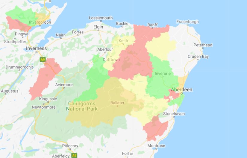
Oftentimes users need UK Post Codes regions for mapping information in the United Kingdom. We are pleased to now offer these regions in ZeeMaps.
Oftentimes users need UK Post Codes regions for mapping information in the United Kingdom. We are pleased to now offer these regions in ZeeMaps.
ZeeMaps allows you to highlight geographical areas, e.g., zip codes, counties, cities, states, or geometrical areas like circles, rectangles on
We’ve added the ability to highlight and find postcodes in Australia. You can highlight postcodes, or find postcodes that are within a
ZIP codes are a system of postal codes used by the United States Postal Service. ZeeMaps supports Zip Code Lookup,