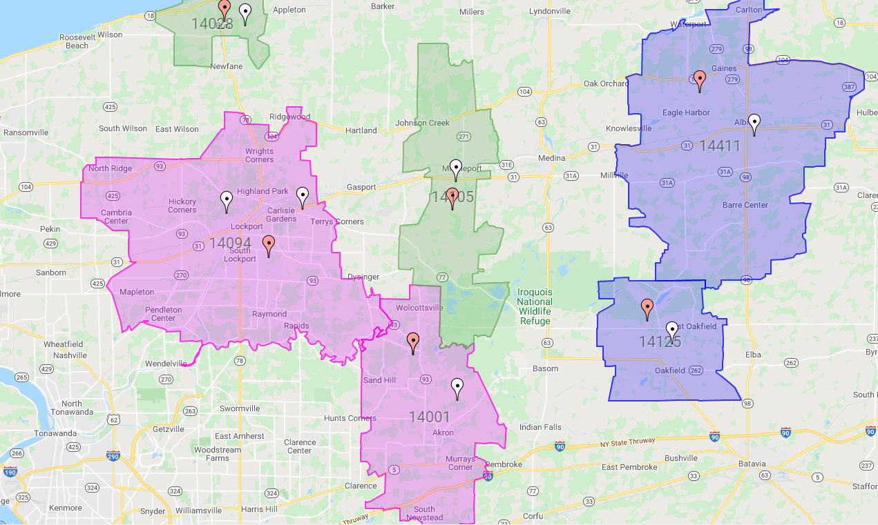
With ZeeMaps, you can build a Zip Code Finder or County maps. By highlighting certain Zip Codes (in the US) and counties (in US, France and UK).
You can style the highlighted area by picking the color and the region, size, color and opacity of the boundary. But with a recent upgrade, the regions will now be automatically labeled with their number or name on your Zip Code Finder or County map. The labels should help in easily identifying the county or zip code. For example, the following map shows a zip code finder map for Los Angeles. But with Beverly Hills (90210) highlighted. (For more information on highlighting regions, please see our Help section.)
To avoid cluttering of the map, the labels will show only at higher zoom levels. Some Regains such as zip codes, are automatically labeled.
There is a limit of 175 regions for the labeling. If your map has more than 175 regions, then they will not be labeled. So we restrict the number of labels to ensure that the map is displayed in reasonable time. Let us know if you’d like to see maps with larger number of regions labeled. As shown below if some highlighted regains have zip codes if will put them in for you.
Create Your Own Map!
Use our tutorial to create your own map!
1: Create your map
2: Share on social
3: Tag ZeeMaps! #ZeeMaps #WeMapYourLists
Zip Code Finder Example Map
View and interact with our example map below. What labels do you see? Try adding a highlighted region!