UK Post Codes Districts – ZeeMaps
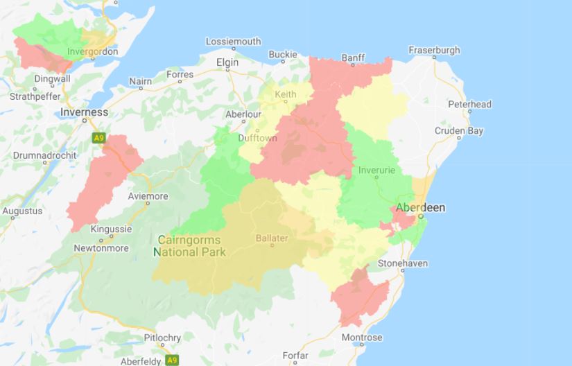
UK Post Codes are designated by two alphanumeric codes. The first one or two letters indicate a postcode area, followed by one or two digits signifying a district within that area. Following this is a space and then a number denoting a sector within the district, and finally two letters which are allocated to streets or sides of a street. While originally designed for mail sorting and delivery, UK Post Codes, as postal codes around the world, have become important geographical boundaries for varying kinds of analysis, e.g., where to put a new store. The reason is that the population within the same post code district or area usually share characteristics like income, education, family structure and so forth.

Due to the rich demographic utility of post code district and areas, having the ability to highlight post code districts or post code areas in different colors on a map can be important aid in performing analysis like which areas have a concentration of certain value, e.g., car dealers.

ZeeMaps has supported the highlighting of UK Post Code areas for a while, and recently we’ve added the capability to highlight UK Post Code districts as well. This will allow our users to perform finer grained analysis with post codes.

You can highlight UK Post Code districts or areas in ZeeMaps in one of two ways:

  1. Use the Additions -> Highlight Post codes -> menu item on your map
  2. Upload a spreadsheet with UK Post Code districts.

Highlight Post Code districts a few at a time

To highlight a few post code districts at a time, use the Additions -> Highlight Post Codes menu item on the map.

Adding UK post codes using highlight postcode areas

Next, choose the UK tab at the top. Then, enter the Post Code or Area that you wish to have added to the map. We added CR0 for Croydon. Also, see that as you start typing the Post Code that a drop-down list will appear to assist in your selection.

UK Post Code Drop down list example

Notice, you are able to add more than one at a time. Finally, choose the boundary and fill color, along with opacity. Last, click Submit.

Highlight Post Code – Croydon Example Output

UK Post Codes through Spreadsheet Upload

If you have a large number of Post Code districts to highlight, then highlighting them one at a time can become tedious. Instead, you can use our spreadsheet upload to highlight the post code area.

One such example is Heat Maps – a common map type used to represent the magnitude of a phenomenon as color in two dimensions. In other words, it highlights the hot spots, or data clusters.

For this example we used the UK Post Codes Districts spreadsheet, attached below. In the first column of the spreadsheet, we specify the post code area or district, in the second column we have a numeric value, e.g., the number of car dealers in the given post code district. We add a third column that specifies a color based on the value in the second column. For details on how to do this easily, please see our post on the Excel IF Function. Color value is based on the number of dealers (column B). Therefore, red represents higher numbers while green represents the lowest.

UK Post Codes Excel example

Upload the data

To upload the data, we added the UK Post Codes spreadsheet to our map via Additions > Upload (Copy – Paste) Spreadsheet.

UK Post Codes Upload Data Prompt
Upload Data Prompt

To begin, we selected UK Post Code District from the drop-down.

Upload data example

Next, we chose United Kingdom as Default country.

Finally, notice our selections – Dealers selected for Name, Color selected for Category, and Post Code selected for Post Code. These are default selections. Last, click Submit.

View our example map below.

UK Postal Areas Map

The process for creating the UK Postal Areas Map is the same as above, except we are mapping postal areas instead of post codes.

View our example map below.

Use Our Spreadsheets to Create Your Own Map

Download our UK Post Codes or UK Postal Areas spreadsheets below to create your own map. It’s easy!

1: Create your map

2: Share on social

3: Tag ZeeMaps! #ZeeMaps #WeMapYourLists