ZeeMaps allows you to highlight geographical areas, e.g., zip codes, counties, cities, states, or geometrical areas like circles, rectangles on your map. You can use such highlighted areas to mark out sales territories, or show service areas on a map. Often, your “region” will comprise of several smaller “geographical” areas. For example, a pizza delivery service might consist of an area composed of several zip codes. Or, a sales territory map might divide the country into several regions comprising of several states each.
Group Highlighted Regions
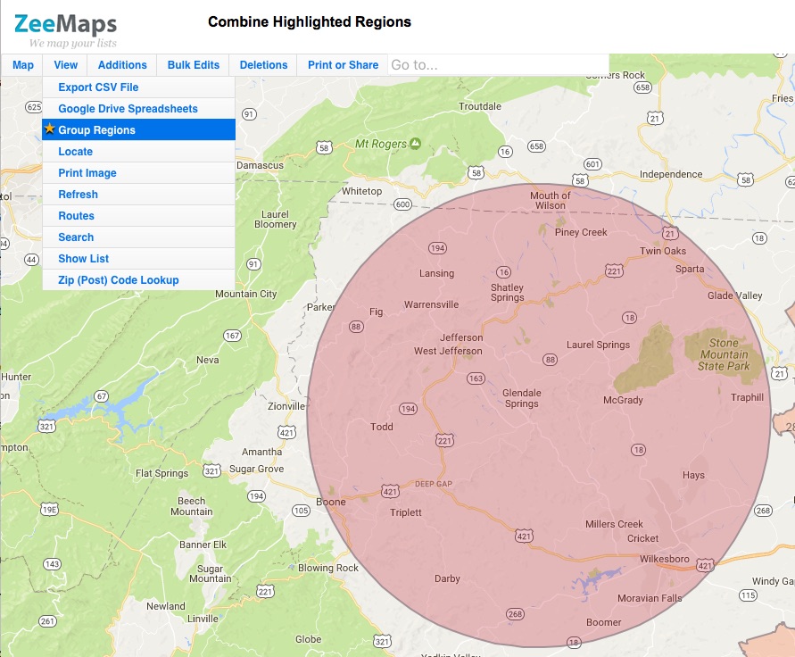
We’ve added a capability to “group” highlighted areas by color. Use the View > Group Regions menu to combine the borders of your highlighted areas. Once you do this, boundaries will be removed from all contiguous highlighted areas of the same color.
While the highlighted areas are grouped, you cannot add or make changes to existing areas. To do that, un-group the areas, make the changes, and then group the areas again.
Grouping and un-grouping of regions requires an active Enterprise plan subscription.
For example, here’s a map that has several US Zip Codes highlighted grouped together. Following it is a the same map without the grouped highlighted regions.